• Tidak ada hasil yang ditemukan

Application of Fuzzy Sets Function for Land Attributes Mapping

N/A
N/A
Protected

Academic year: 2017

Membagikan "Application of Fuzzy Sets Function for Land Attributes Mapping"

Copied!
7
0
0

Teks penuh

(1)
(2)
(3)
(4)
(5)
(6)
(7)

Gambar

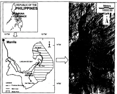
Figure 1. Location of the study area
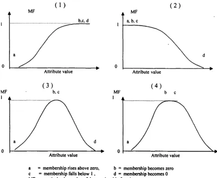
Figure 2. The Membership tunction: I) increasing-sigmoidal function (the value of b, c, d are identical), 2) decreasing-sigmoidal function
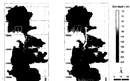
Figure 3. Membership map of Bugarin Series (left) and Sampaloc Series (right) at Sta. Maria and Romero river catchments (Darker color
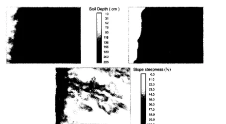
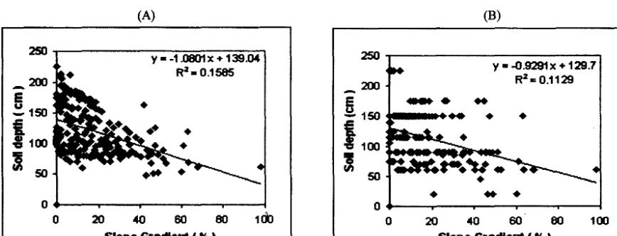
Figure 5. Maps of soil depth on a complex topography: a) derived from membership maps and b) from the conventional soil map
+2

Referensi

Dokumen terkait

This study was guided by objectives, which are as follows; to determine the current LULCC planning and assessment processes used by municipality in uMnini Trust traditional council, to