isprsarchives XL 4 W2 27 2013
Teks penuh
Gambar
Dokumen terkait
Photogrammetry and pattern projection are both based on the principle of intersection of directions. In order to locate coordinates, at least two directions are
The guidelines of this research were: the integrated use between scanner-laser data and digital photogrammetry; the management of the points cloud as first 3d discrete model and its
KEY WORDS: Training, Methods of Building archaeology, Documentation of traditional architecture, Survey of Arabien architecture, Cultural heritage of Jeddah,
KEY WORDS: Hyperspectral imaging, Hyperspectral frame camera, Remote sensing, Orthomosaicking, Camera calibration, Vegetation indices, Photogrammetric processing , Bundle
International Archives of the Photogrammetry, Remote Sensing and Spatial Information Sciences, Volume XL-1/W2, 2013 UAV-g2013, 4 – 6 September 2013,
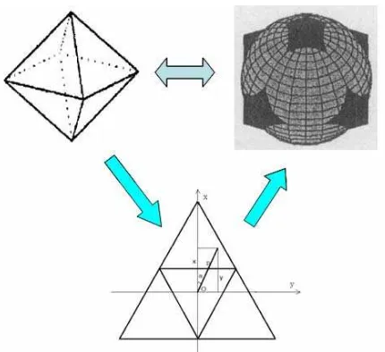
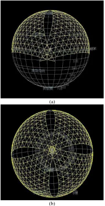
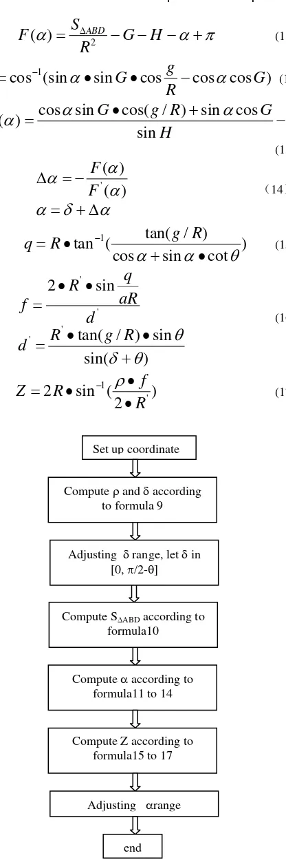
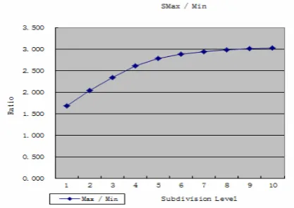
DGGs and ESSG are all the spatial data models for large-scale regional and global at the background of Digital / Smarter Earth, especially the ESSG achieves
Therefore, this study proposes Indoor Spatial Data Model (ISDM) representing the geometry and the topology of indoor space developed to support indoor location
façade area, clearness of the view to façade, existence of hidden parts display size (mainly related to observer distance) shape distortion (related to viewing angle)
