isprsarchives XL 4 W5 29 2015
Teks penuh
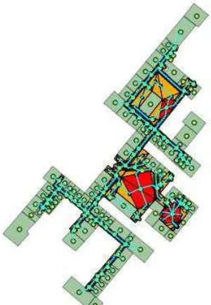
Gambar
Garis besar
Dokumen terkait
In addition to the visual approach, photogrammetry has to be supported by a topographical survey (to acquire ground control points - GCP) to georeference all the finds in
A structured image database of an indoor environment is constructed, and used as the indoor location referencing, since each image ’ s relative pose can be estimated..
The system has been applied to the indoor- outdoor seamless modelling of distinctive architecture existing in two typical cultural tourism zones, that is, Tibetan and
The metrics for a segmented reference point cloud (the empirical ideal) is mapped into an N-dimensional space defined by the Metrics, their values and parameter
Since the self-localization of the mobile device is based on GPS, gyro sensor, acceleration meter and magnetic field sensor (called as position and orientation system (POS) in
When we use stochastic process like general state space model for tracking, an estimated human position is determined by both prediction by previous human
After extracting geometric and semantic information of building components for input data, the next step is to fine the most suitable path between two given location
Naïve Bayes Classification Naïve Bayes Classification Naïve Bayes Classification Naïve Bayes Decision Fusion Training Data Object s Input Data Object s The
