isprs archives XLII 2 W7 875 2017
Teks penuh
Gambar
Dokumen terkait
Even so, the stroke-based rendering for artistic visualization of trajectory data is still an open problem under the proposed framework using cloud model, and various
we use the Flow Matrix to study the Chinese typical urban land use change patterns in Quanzhou, Changsha, Kunming, Yinchuan and Urumuqi.. Flow Matrix that shows
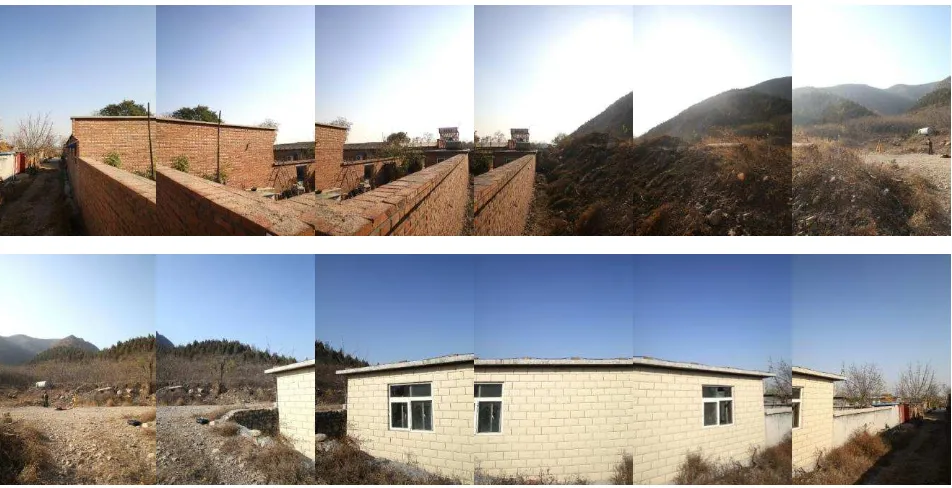
The mosaic process is divided into several levels, which consists of multiple sets of adjacent images, and then two adjacent images in each group will be cut into four
For the sake of making the scale and brightness contrast of the two kinds of data meet the needs of basic matching, the intensity image of point cloud was produced and
This paper deduces a new 2D Otsu method for water extraction from SAR image, which calculates the texture factors such as contrast, entropy, homogeneity, mean and second moment based
Because of the point cloud characteristic of the gully and the particularity of the terrain features, this paper puts forward a method of detecting airborne
According to the experimental results, CSF filter can be used to extract non-ground seed points with a good representation and can get a group of non-ground point cloud,
In this work, we process a very dense point cloud (~200 points per square meter), using three different methods for segmenting single trees and extracting tree positions and
