isprs archives XLII 2 W7 733 2017
Teks penuh
Gambar
Dokumen terkait
In this paper, two study sites, Schirmacher area and Recovery Ice Stream are selected and it is found that the general X-band SAR signal penetration depth is around 3-7 meter on
The result shows that object-oriented classification method has advantage of removing mountain shadow, its accuracy of river extraction is the highest, and Yarlung
In this paper, the fuzzy set theory is used to model the uncertainties in the color image segmentation problem, and the new image fusion segmentation algorithm is
From top left to bottom right: original hyperspectral image, image sharpening results from Ehlers fusion, PC, Gram- Schmidt, Spatial domain High pass filter, Wavelet PC...
Visible infrared imager radiometer suite (VIIRS) inherits and develops in MODIS, and is certainly similar to the MODIS sensor. Therefore, studying extraction water and
The proposed approach for buildings change detection, using multi-resolution remote sensing images, is based on buildings extraction from multi-date imagery by
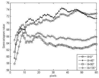
Reversible jump Markov Chain Monte Carlo (RJMCMC) method (Kato, 2006; Zhang, 2004.) is widely used to image segmentation to estimate the number of classes. This paper proposed a
In this paper, we propose a novel and fully automatic approach for shadows detection from the image by using 3D city models. The reconstructed image from 3D city model by ray tracing
