isprs archives XLI B4 313 2016
Teks penuh
Gambar
Dokumen terkait
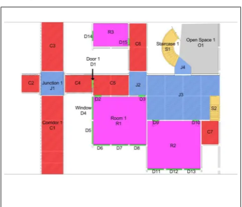
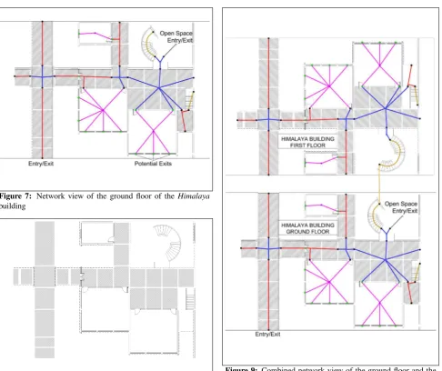
In contrast to navigation and routing services on public streets, seamless navigation will cause an additional challenge: how to make routing data accessible to defined users
Choosing a landing site with a small landing ellipse is based on the analysis of high- resolution imagery and topographic data as well as mineralogical, elemental,
The integrated photogrammetric mapping system flown on the last three Apollo lunar missions (15, 16, and 17) in the early 1970s incorporated a Metric (mapping) Camera,
In a general fingerprint localization methodology, the access point with the highest RSS value is denoted as the important access point (IAP). At the localization
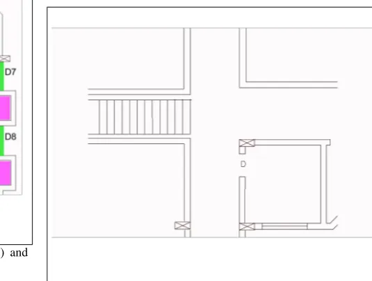
To evaluate the possibility of the indoor modelling using the rotating stereo frame camera system, we selected test bed and acquired image data sets using the
ELF combines national reference geo-information through the cloud based ELF infrastructure and by combination of national download and view services it will provide a
The system of basic registers is built in the Czech Republic since 2009 as a comprehensive system containing the reference data for information systems of
Another is the medium method (Med), which is selected a medium height value i.e. If it shows a masked value, same value is kept in AW3D30. This is likely keeping the terrain
