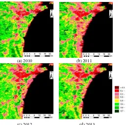
isprsarchives XL 7 W3 805 2015
Teks penuh
Gambar


Dokumen terkait
SeaWiFS and MODIS-Aqua data (Level 3) were processed with the Levenberg–Marquardt technique–based BOREALI algorithm (Korosov et al. 2009b) for processing ocean colour
The locally-adaptive algorithm we developed using time series of MODIS-derived NBR index outperformed all the global products in mapping the extent and number of
A ROBUST FALSE MATCHING POINTS DETECTION METHOD FOR REMOTE SENSING IMAGE REGISTRATIONX.
The University of Natural Resources and Life Sciences (BOKU) in cooperation with the National Drought Management Authority (NDMA) has setup an operational processing of MODIS images
This paper examines whether improved temporal sampling at high spatial resolution (20m) with satellite data actually improves our knowledge of deforestation and
As a result, the 50 initial vegetated categories were consolidated into the following categories: Alpine Vegetation; Evergreen Coniferous Forest; Deciduous
Figure 2: Spatially averaged viewing zenith angle (NBAR) and viewing and sun zenith angle adjusted (BRDF-adjusted, VZA = 0°, SZA = 30°) EVI and NIR for MODIS tiles h11v09 and
This study is focused on the consistency of SPOT/VGT and PROBA-V GEOV1 products developed in the framework of the Copernicus Global Land Services, providing an
