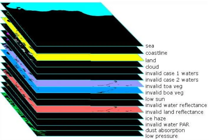
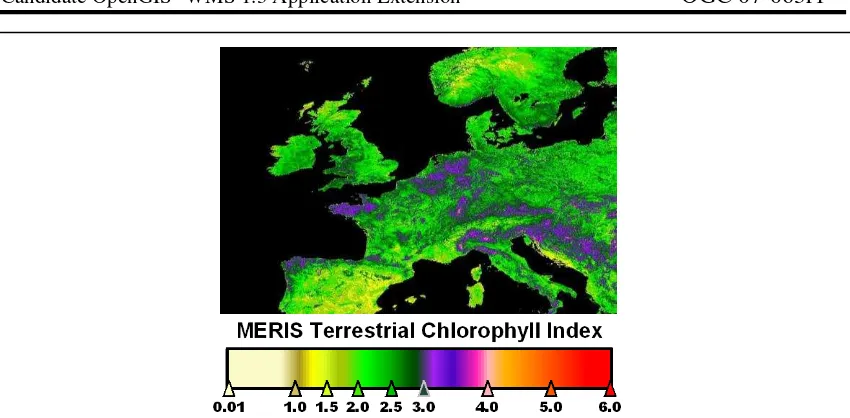
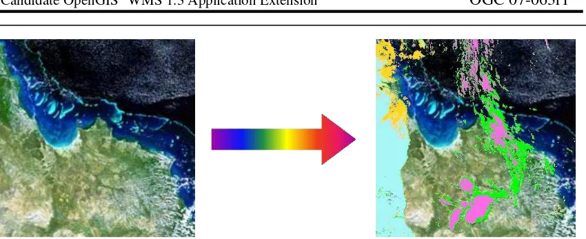
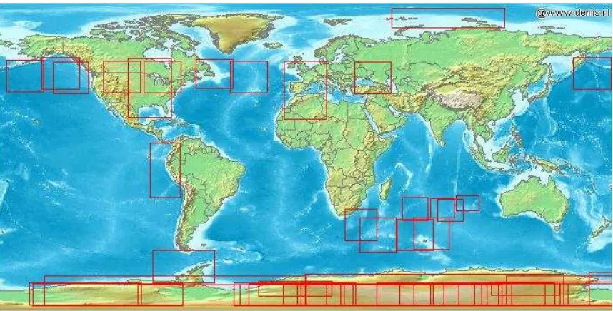
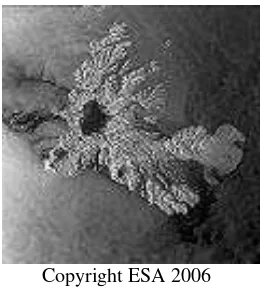
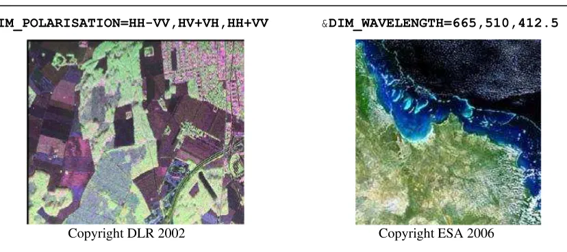
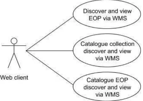
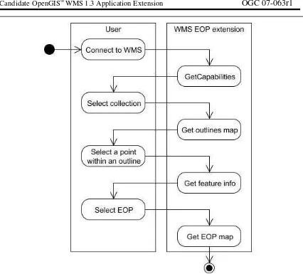
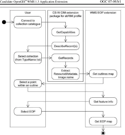
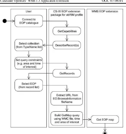
Web Map Services - Application Profile for EO ProductsWMS AP EO
Teks penuh
Gambar
Dokumen terkait
(1) Penambahan penyertaan modal Negara sebagaimana dimaksud dalam Pasal 1 berasal dari Anggaran Pendapatan dan Belanja Negara Tahun Anggaran 1988/1989 melalui
2- Good background of English is needed to learn medical terms, feel 66.6% of IMC staff, but 60% hospital professionals are positive about having good background of English while
Also Suleiman (2010) aimed at evaluating practices followed by the faculty members in assessing the academic achievement of their students through a questionnaire included
Dengan mengetahui rugi-rugi yang terjadi pada sistem, diharapkan saluran yang menyebabkan rugi-rugi cukup besar dapat lebih
Pedoman Observasi (Metode Pembelajaran dalam Pembelajaran Berbicara) 20 Pedoman Observasi (Respons Pembelajar BIPA Terhadap Tugas) ...21. Pedoman Observasi (Penerapan Metode
- People spend more time receiving than transmitting information. - People prefer oral than written communication
The closer to the pedagogical keystone these mediating factors are located within an individual teacher’s narrative analysis, the greater priority they are given within the
www.economics-ejournal.org 8 where export t stands for Tanzania’s exports; cdi t for China’s domestic fixed asset investment, which serves as a proxy for investment slowdown
