Conference paper
Teks penuh
Gambar
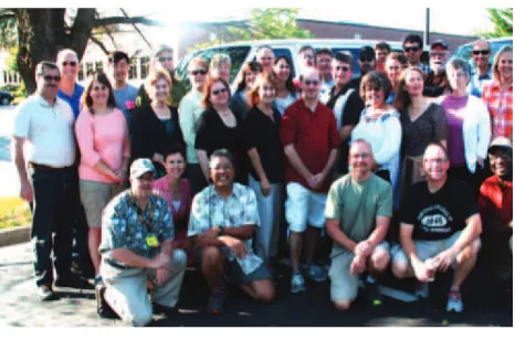
![Figure 5. Dan Scollon, Shasta Community College, CA (in back row, third from right) commented, “Participation in iGETT has including teaching resources, presentation materials, software and, GIS program… The tangible outcomes and products from iGETT, produced a multitude of beneits for me professionally and for my most of all, the participant [exercises], have provided an essential starting point from which to begin offering remote sensing… at Shasta College….”](https://thumb-ap.123doks.com/thumbv2/123dok/3258658.1399564/6.595.75.268.347.502/community-participation-presentation-materials-multitude-professionally-participant-exercises.webp)
Garis besar
Dokumen terkait
ISPRS Annals of the Photogrammetry, Remote Sensing and Spatial Information Sciences, Volume I-7, 2012 XXII ISPRS Congress, 25 August – 01 September 2012,
Without the inclusion of multitemporal remote sensing data of different sensors, the information content on the major agricultural crops could not have been
ISPRS Annals of the Photogrammetry, Remote Sensing and Spatial Information Sciences, Volume I-2, 2012 XXII ISPRS Congress, 25 August – 01 September 2012,
Panoramic images are increasingly used for cultural heritage The International Archives of the Photogrammetry, Remote Sensing and Spatial Information Sciences, Volume XL-5,
Results of the proposed segmentation method on circuit breakers using down-sampled Faro subset The International Archives of the Photogrammetry, Remote Sensing and Spatial
Compute approximate absolute orientations using a robust, adaptively guided tree sampling procedure The International Archives of the Photogrammetry, Remote Sensing and
In addition to land cover/use maps, other remote sensing products, such as NDVI (Normalized Difference Vegetation Index) images calculated from satellite data with medium
Identification of glacial boundary based on spectral information from optical remote sensing imageries produces errors due to misclassification of debris-covered ablation area with
