isprs archives XLI B5 255 2016
Teks penuh
Gambar
Garis besar
Dokumen terkait
The comparison of 3D model generation and the volume calculation with TLS and SfM shows that errors occur within the procedure of data acquisition as well as the data
This research derived a value of ± 9 cm vertical sensitivity for the SfM-derived change measurement, and this appears appropriate for the Hollin Hill landslide site, since
A dvances in software for automated processing and production of 3D models from image sequences greatly expand the usability of low-cost camera systems in
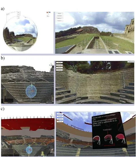
Many experiences in the field of CH have grown a strong need of dedicated information systems created ad hoc for the managing of survey data, 3D representation, restoration
With the 3D coordinates of the feature points and exterior orientation elements between each image pair, the estimation accuracy of the exterior orientation
building which had been the object of arson. T he result obtained is a multitude of points which allow for a 3D reconstruction of the object with high accuracy.
Therefore, file management for the Thousand-hand Bodhisattva 3D information documentation project should clear the collection range partitioning and engineering
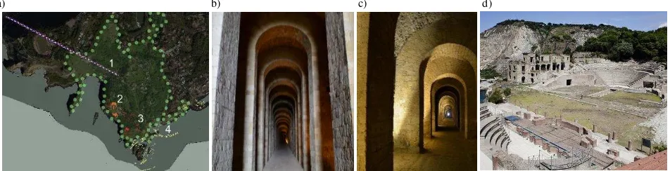
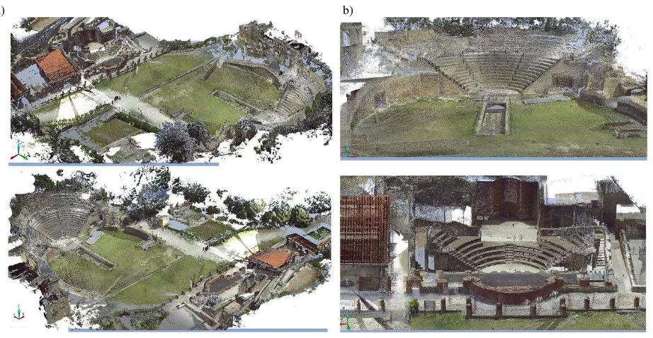
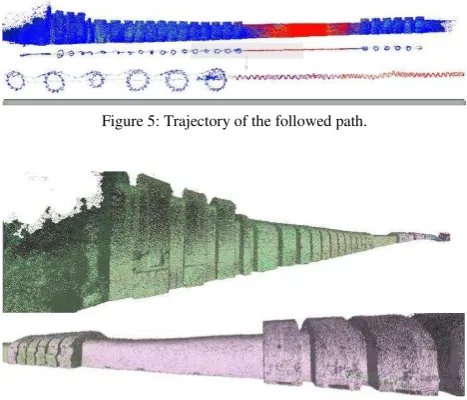
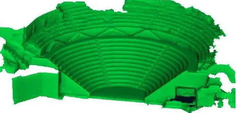
The survey after the earthquake presents a number of difficulties or problematic elements related mainly to the operating conditions rather than the technical aspects. The
