Conference paper
Teks penuh
Gambar
Garis besar
Dokumen terkait
Moreover, seasonal variability (climatic regime) might also affect the change patterns of the temporal vegetation dynamics of many land use types such as in many areas
We present the design for a new indoor mapping system based on three 2D laser scanners as well as a method to process the range measurements such that the pose of the system and
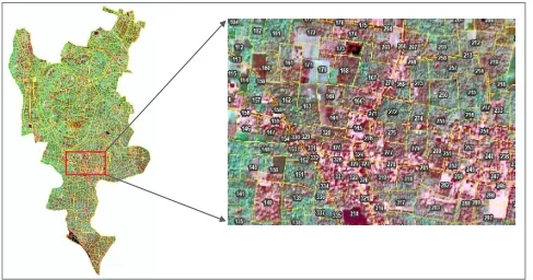
(a) Cadastral Parcel Derived from CARTOSAT-2 (b) Cadastral Parcels derived from GEO-EYE ISPRS Annals of the Photogrammetry, Remote Sensing and Spatial Information Sciences,
First of all, the points belonging to the same object must be classified into one or several closed polygons. The algorithm chooses randomly one point and
Secondly, and essentially, as shown in Figure 18 above, a Matlab script was developed by (MacDonald 2010) at UCL CEGE using 3D colour laser data, that enabled the mapping of
In the land cover layer, the nodes correspond to superpixels extracted from the image data, whereas in the land use layer the nodes correspond to objects of a geospatial land use
The Skysat satellites of Skybox Imaging are a very interesting platform, as they provide new data with a resolution of 1 meter or better, and can acquire both mapping products and
Map of Conformity of Settlement Spatial Pattern Plan with Settlement Land Utilization Direction As for the direction of landslide disaster mitigation in the Northern Region of
