isprs annals IV 4 W2 207 2017
Teks penuh
Gambar
Garis besar
Dokumen terkait
Building on the concept of Smart Point Cloud (Poux et al., 2016a), we specifically look at device, analytical and domain knowledge as information sources for point cloud
As derived from former research (Münster, 2017), an academic discourse in the field of digital heritage is widely driven by technological topics - especially aspects of
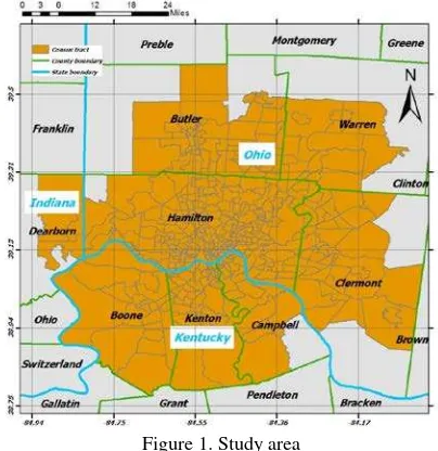
In order to facilitate the creation of a comprehensive and historically accurate scale model of the estate in a time sensitive way for the LAAM, researchers in the
Create an accurate 3D modelling pipeline for the documentation of bath structures through image and range based techniques combined with topographic survey, which
Gini index Vector polygon World Bank Data Indicators Each value represents income distribution Health expenditure Vector polygon World Bank Data Indicators Each value
This paper introduced a new Apache Spark-based framework for spatial data processing is proposed, which includes 4 layers: spatial data storage, spatial RDDs,
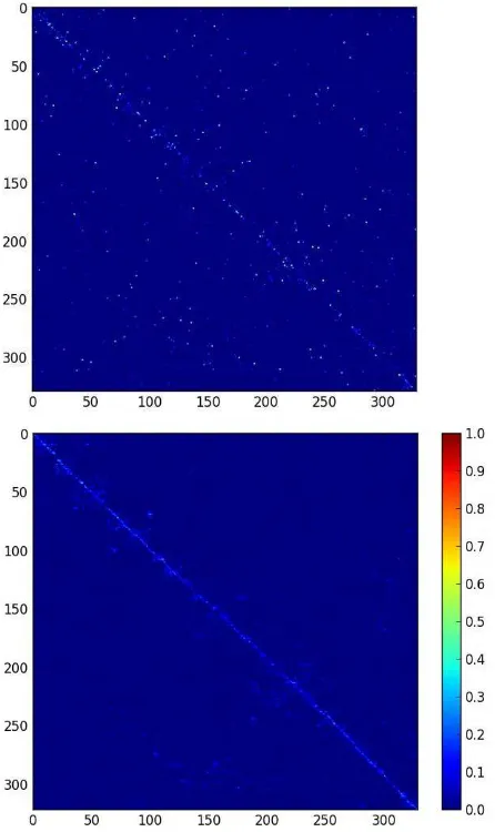
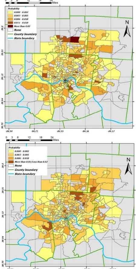
In this paper, we proposed a spatially weighted extension to the attribute stability index, a method for investigating and quantifying instability in time series data with
Geohashing is a data encoding technique to produce spatial bounding boxes used for binning of nearby points based on Z-order curves (Morton, 1966). Unlike many of the other
