isprs archives XLI B1 259 2016
Teks penuh
Gambar
Dokumen terkait
In this study, approaches (Approach 1 and Approach 2) have been proposed for the automatic point based classification of raw LiDAR point cloud with the combine
generation of point cloud from imagery using semi-global image imaging technology, detection of buildings from the generated point cloud, classification of
from aerial triangulation. Dense point cloud can be generated by using aerial triangulation products and wide angle images and then DEM can be interpolated. In addition,
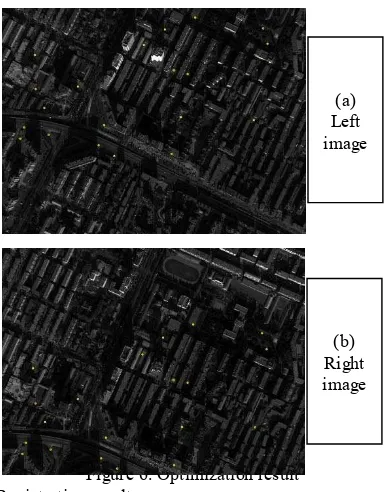
No reference from Epoch 2 was used for image registration and this was expected as the GNSS geo-tag used differs in accuracy from time to time due to several factors such
We defined the partial similarity as RWME which is the ratio of weighted surface area of the model to the weighted one-sided Hausdorff distance from the model to the point
Due to the continuous technical advancement of Mobile Mapping System (MMS), it has become possible to acquire large number of images and 3d point cloud efficiently with highly
The constructed 3D point clouds from the laser scanner and the images for the first and the third data sets were used in the ICP registration to estimate the system
In this study, inventory information such as crown closure, and number and height of trees was collected by using the point cloud extracted from the aerial images taken from a
