isprsannals II 2 W1 201 2013
Teks penuh
Gambar


Garis besar
Dokumen terkait
The South African Heritage Resources Information System (SAHRIS) was recently developed to address many of these challenges and its successful implementation will rely heavily
As can be seen from Table 2 with data acquired by using the auto acquisition time (the one suggested by the acquisition manager software) the following
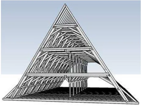
Thus, the LandformState consists of four nodes, the three DualStructures that represent the three LandformLayers and the outer (o). In general the outer represents the
One of the major development efforts within the GI Science domain are pointing at sensor based information and the usage of real time information coming from geographic
By generating image tiles using this service, the 3D rendering process is shifted from the client side, which provides major advantages: (a) The complexity of the 3D city model data
The results obtained, and in particular the overall rendering time of 52 seconds for the LoD 1 data and 72 seconds for the mixed LoD 1 and 2 data, highlight the potential of the
From the concepts presented, the requirements for the unified spatial data model: are to construct a 3D geometry capable of representing regular objects (such
A survey in kinematic mode NRTK has proved suitable for the accurate definition of the general elements of the park and fast and light in the acquisition phase and
