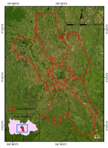
Satellite-Based Land Surface Temperature Estimation of Bogor Municipality, Indonesia
Teks penuh
Gambar
Dokumen terkait
The objectives of this study were to analyze the potential expansion areas for cashew plants on Lombok Island based on the following: (i) land availability, (ii) land suitability
A survey has been conducted in Bogor, West Java, as sub-urban area and Bojonegoro, East Java, as maize production area, in order to assess the acceptance and
Land/forest fire hazard mapping could be established based on spatial biophysical parameters such as rainfall, vegetation condition, land cover, and land type..
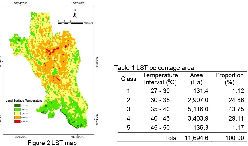
One of the things that can be done is to minimize the occurrence of damage that can occur on land caused by environmental influences, such as using a temperature
It can be concluded that morphology of paddy soil and dry land was different in the presence of plow pan layer, as well as the physical and chemical properties, especially in the
Sub-goals in the study a examine the relationship between urban fabric design and their relation to the urban heat island and thermal properties at regional scale as characterized by
This study aims to look at the distribution of residential land in the coastal areas of Sulabesi island with the condition of the island landscape and the suitability of settlement to
This objective of this study research is to identified the relationship of the selected urban index, NDBI, and land cover for an urban area, water, and vegetation and discover the
