isprs archives XLI B4 587 2016
Teks penuh
Gambar
Dokumen terkait
The main objectives were (I) to check the usability of TLS and UAV-based imaging for such studies under field conditions, (II) to compare the achieved data, (III) to
The reconstruction was carried out by VisualSFM (VisualSFM, 2016), which implemented four basic steps to generate dense The International Archives of the Photogrammetry, Remote
Another example is proposed extension of FITS standard ( http://fits.gsfc.nasa.gov/fits_standard.html ), used in astronomy and astrophysics, to include metadata for
Moreover, this ICESat/GLAS system provides a consistently referenced elevation data set with unprecedented accuracy and quantified measurement errors that can be used to
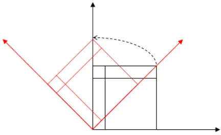
method are used as seed points and as the initial known-point set. T he first step of expansion is conducted on the known-point set iteratively to find the feature points.
According to the information acquired by Strava Metro, there are more cyclists in suburbs at the centre of Johannesburg and towards the north and to the east, and in Kibler Park
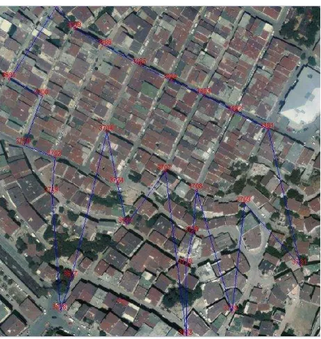
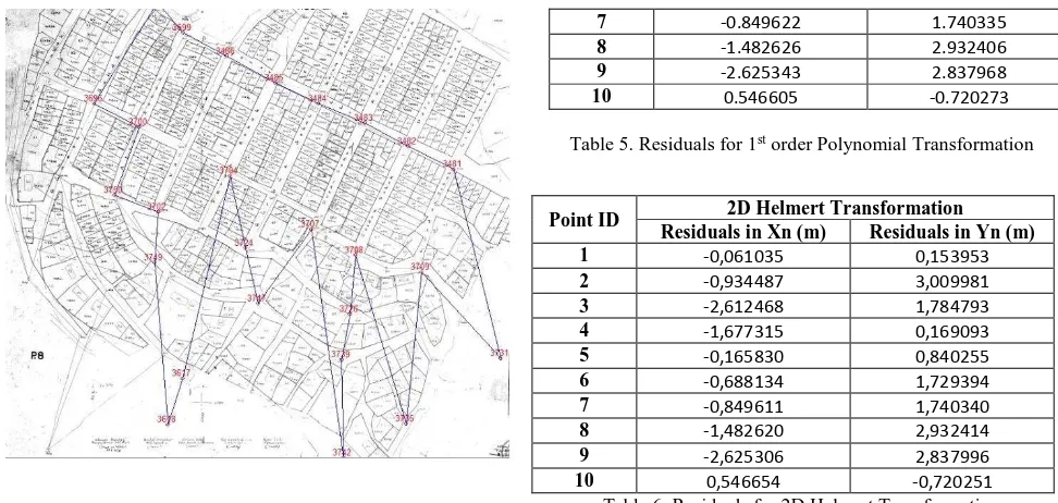
During the process of rectification, the discrete data include GCPs and check points (CPs), utilized for rectification and evaluation of the remote sensing image,
Additionally, the reference data or selected points or objects thereof may be used as ground control points for a point cloud adjustment of the mobile mapping point clouds
