isprs archives XLI B3 567 2016
Teks penuh
Gambar
Garis besar
Dokumen terkait
It describes a linear feature as a string of points, represents all features in an image as a configuration of a spatial point process, and formulates feature detection as finding
The last step consists in projecting the hy- perspectral data using this new navigation data and performing a last correction, taking into account the boresight between the
In this study, we presented a denoising algorithm for the pixel- response non-uniformity correction of the CIS2521F sCMOS image sensor utilized under extremely
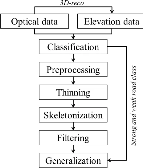
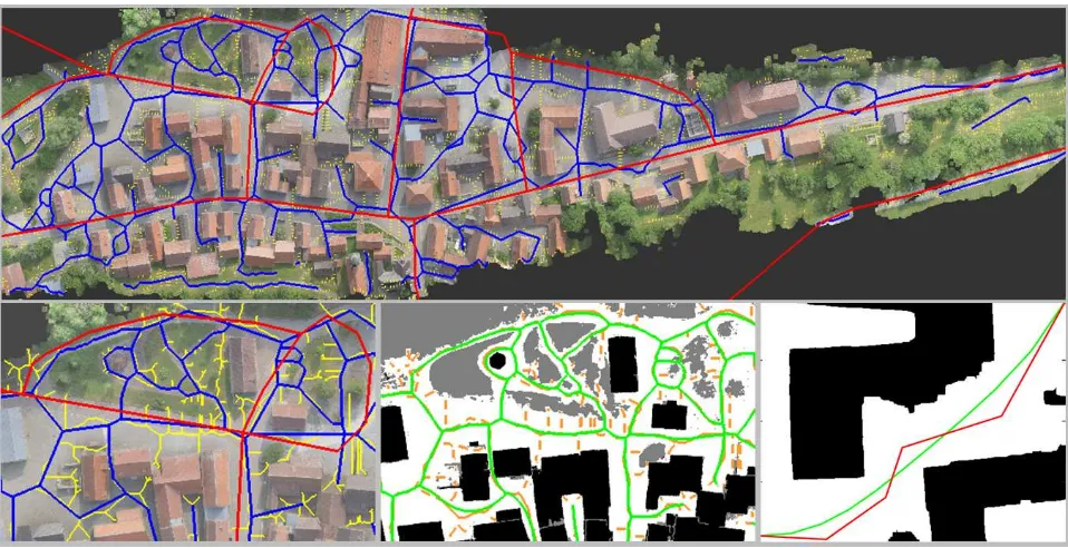
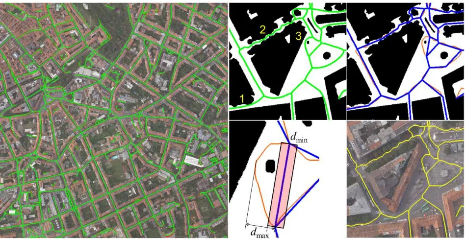
Moreover, we in- troduced two new segment features for airborne point clouds de- scribing the distance and the orientation of each segment with re- spect to the closest road..
The main contributions of the proposed method are extraction of road markings by combining intensity gradient features and geometric features, and recognition of
URBAN ROAD DETECTION IN AIRBORNE LASER SCANNING POINT CLOUD USING RANDOM FOREST
platform, it is mostly scanned in its ajar position. In other words, this connection element which provides continuous accessibility between scanning positions turns out to be
In such scenario, this paper features the analysis of Twitter data containing hashtag related to Nepal Earthquake 2015 together with their temporal
