isprs archives XLI B3 441 2016
Teks penuh
Gambar


Dokumen terkait
(2010) proposed a method of comparing LiDAR data and existing building models by double-thresholds strategy, and building change detection accuracy was further improved
KEY WORDS: Terrestrial Laser Scanning, Stem Detection, Cylinder Fitting, RANSAC, Self-adaptive Cylinder Growing, Point Cloud
While in image matching method, filtering DSM to obtain DTM using LIDAR processing approach in photogrammetric processes, especially when meet heavy forestry area,
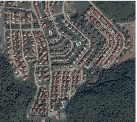
Urban scene classification based on aerial LiDAR points can guide surface reconstruction techniques in urban modeling, piecewise planar surfaces are used for precise
We proposed two strategies: (1) to sample the point cloud from all the possible plane segments and (2) to use a novel method to store and retrieve spatial data using a layered
URBAN ROAD DETECTION IN AIRBORNE LASER SCANNING POINT CLOUD USING RANDOM FOREST
KEY WORDS: lidar, multispectral imagery, fusion, feature extraction, supervised classification, energy minimisation, forest stand delineation, tree
The workflow of airborne LiDAR point cloud data and synchronous digital image co-registration based on combined adjustment is shown in Figure. 1) Point cloud
