Conference paper
Teks penuh
Gambar
Garis besar
Dokumen terkait
dense corresponding pixel matching between epipolar images. The method takes the independent physical properties of RGB information into consideration. The RGB differences from
7 shows on the lower left the colliding point cloud in yel- low and the non-colliding point cloud in magenta when moving the car model from the right figure through the environment on
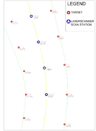
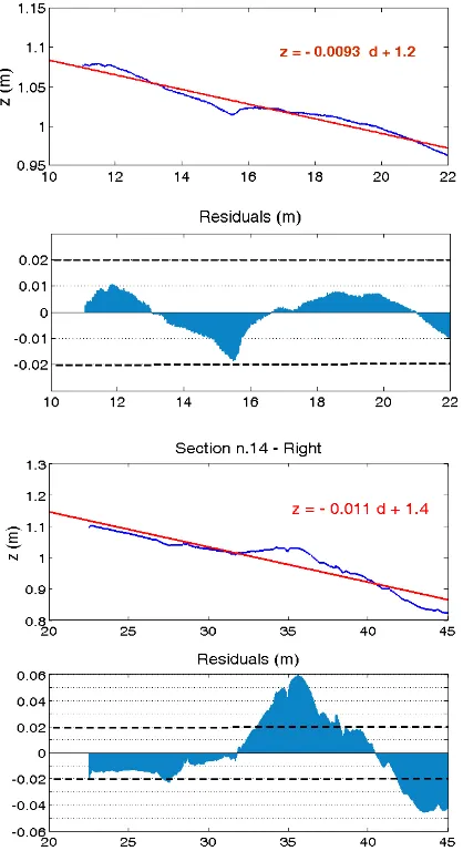
The geomatic techniques, especially range based (Terrestrial Laser Scanning – TLS) or image based (digital photogrammetry and image matching techniques) have specialized
What makes coarse registration of arbitrarily oriented TLS point clouds difficult are (i) unevenly dis- tributed scan points due to the polar measurement principle, (ii) the
The thinned point cloud is segmented using DWCut and subsequently an aggregation is carried out, where the segmented points of the thinned point cloud act as seed points;
This paper proposes a new building detection method using a novel segmentation technique for LIDAR point cloud data cov- ering complex urban scenes.. The point cloud data is
A novel object based semantic point cloud labelling method util- ising the geometrical information from LiDAR point cloud data and spectral information from optical images has
This study presents an effort to use the existing traditional method to derive optimal cloud- cleared radiances for INSAT-3D Sounder, by estimating the fractional cloud cover
