isprsarchives XL 5 W4 139 2015
Teks penuh
Gambar
Garis besar
Dokumen terkait
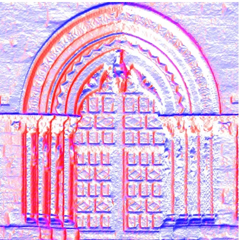
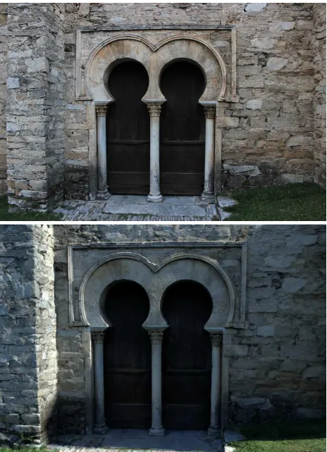
The colours in the RGB scale of the 3D model show the deviation between the points of the Agisoft Photo Scan cloud, then from drone survey, and those of the RISCAN Pro cloud,
The central database stores not only the internal structure and the textual BIM information inserted by users, but also the models files (both in the format used
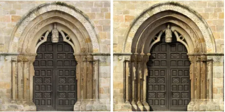
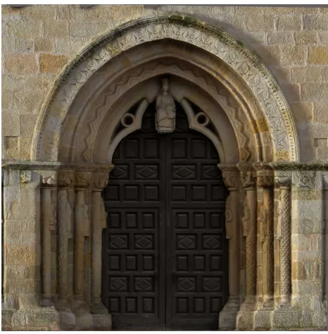
The use of points from photogrammetric method with those selected from the scanner point cloud allows the study of the coffers' general distribution.. 2.2
We can select the type of orientation such as to set equal to zero the coordinates of one of the three stations, S1, then equal to zero the Y coordinate of S2.
The camera pose is computed using the entire images intensities under a photometric visual and virtual servoing (VVS) framework1. The camera extrinsic and intrinsic parameters
This paper introduced a new region-based texturing procedure for the establishment of the link between the laser scanning positional and the images’
Figure 10: 3D surface model of the exterior walls (left) and the interior area (right) of the fortress Al Zubarah with and without texture generated with Autodesk web service
At the same time, although in the development phase, the new application allows us to reach a higher level of interaction with the digital models, to
