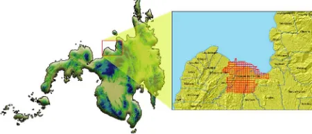
isprs archives XLI B8 1009 2016
Teks penuh
Gambar
Garis besar
Dokumen terkait
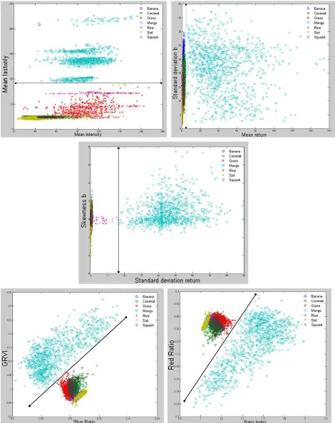
Derived layers (CPR and RFDI) did not improved the classification accuracy in addition to three dates temporal dual polarisation SAR images, though these
For the classification of built-up and non-built-up area pixels, we applied a machine learning algorithm known as Learning with Local and Global Consistency (Zhou et
Therefore, in the present paper, object-based change detection strategy is first adopted, domain knowledge structure for global land cover updating has been exploited,
KEY WORDS: Urban Expansion, Remote Sensing, Landsat Imagery, Classification, Change Detection, Driven Forces Analysis, Montréal Census Metropolitan
As such, the study has set its objectives as follows: (1) developing a knowledge-based image classification approach to detect urban wetlands at fine scales
A fter tOat, we intersect eacO classification for eacO date witO tOe precedent date, so we can analyze tOe patOs of eacO land use cOange, focusing forestry expansion in
Based on RS-composite classification, DEM-based forest growing conditions types and field data the maps of forest cover and forest ecosystem carbon stock were created...
tree species is larch, followed by birch and cedar. The geographical distribution was also more accurate than the classification using only the L8SR bands. The
