
isprsarchives XXXVIII 5 W16 537 2011
Teks penuh
Gambar
Garis besar
Dokumen terkait
preservation of historical artefacts; they provide a wide transmissibility of the achieved results, moreover the transition from specialistic knowledge to widespread communication,
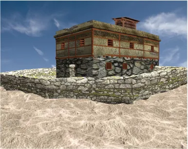
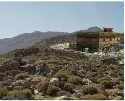
In order to have a realistic context for the Large Tower, the topographical survey made by the British team, provided as a dxf file, was compiled in AutoCAD with the TerrainCAD
The researcher/technician chooses the value of the reconstruction step, based on the type of plan to be realized. As gsd decreases, resolution increases, along with the
International Archives of the Photogrammetry, Remote Sensing and Spatial Information Sciences, Volume XXXVIII-5/W16, 2011 ISPRS Trento 2011 Workshop, 2-4 March 2011, Trento,
There is no point in showing the comparison summary of the sequence (as done in the previous case studies): due to the high overlap between consecutive images and
The image sequence depicts a cultural heritage site in Myson (Vietnam), a cluster of abandoned and partially ruined Hindu Temples constructed between the 4th and
International Archives of the Photogrammetry, Remote Sensing and Spatial Information Sciences, Volume XXXVIII-5/W16, 2011 ISPRS Trento 2011 Workshop, 2-4 March 2011, Trento,
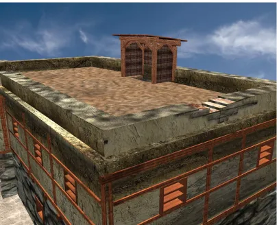
3D models are realised according to building constructive elements, derived by a critical architectonic surveying; the importation of models into GIS allows the interrogation of
