Conference paper
Teks penuh
Gambar


Garis besar
Dokumen terkait
Panchromatic images with different spectral band position and multispectral images with degraded spatial resolution were generated from airborne visible/infrared imaging
These datasets have various point densities, point distri- bution, and points of view since they have been acquired with different lidar systems: airborne (ALS), terrestrial
The proposed method first segments out 3D points belonging to the building fac¸ade from the 3D urban point cloud and then projects them onto a 2D plane parallel to the
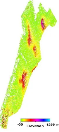
KEY WORDS: Building Detection, GWR, Height Prediction, Aerial Photo, Sparse LiDAR Point, Urban
(2012) 'Automatic reconstruction of building roofs though effective integration of LIDAR and multispectral imagery', International Annals of Photogrammetric Remote
key idea of 3D building damage detection is the 3D Change Detection using 3D point cloud obtained from aerial.. images through Structure from motion
This research paper introduces an efficient method for validating the quality of the airborne LiDAR point clouds data using terrestrial laser scanning data integrated with edge
5.1 Extracting building footprints from satellite data employing visual analysis techniques (manual digitization)-Semi Automatic Method: Building footprint extraction
