isprs annals IV 2 W3 17 2017
Teks penuh
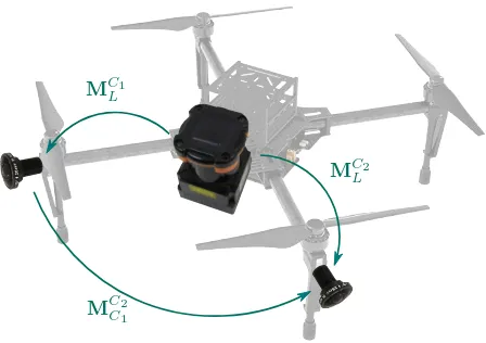
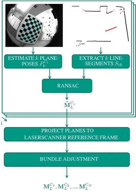
Gambar
Garis besar
Dokumen terkait
In this paper, two straightforward and easy to implement strategies will be described and analyzed, which improve the direct positioning accuracies for UAV-based mapping and
In a more quantitative way, from the 2011 image of the area of flight, it was possible to geo-reference the UAV image using ENVI and estimate the central pixel latitude and
It was shown that cm-level ground accuracy is achiev- able without GCPs with absolute and relative aerial observations derived from a low-cost receiver.. An integration of such a
The histograms in Figure 9 show the derived errors to the ground truth poses. Figure 9.a and 9.b show the spatial errors of our VGG16-Net respectively SqueezePoseNet to ground
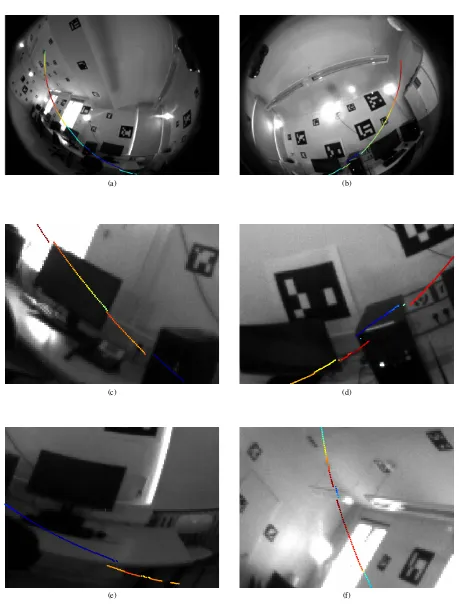
Our experiments suggest that our algorithm yields a 3D reconstruction of the environment showing a low uncertainty in the probabilistic model and a trajectory with less changes
These results demonstrate how structure-and-motion and multi- view stereo algorithms can be successfully applied to create high detailed dense point cloud, 3D models and
ISPRS Annals of the Photogrammetry, Remote Sensing and Spatial Information Sciences, Volume IV-2/W3, 2017 International Conference on Unmanned Aerial Vehicles in Geomatics,
Image observations from D1 and D2, and absolute position and orientation control for the D2 ones, obtained from INS/GNSS (we assume that images from D2 are time-tagged via the
