Conference paper
Teks penuh
Gambar
Garis besar
Dokumen terkait
We developed an automatic method for sub-pixel building edge detection in HSI images using spectral and spatial information.. The roofing materials in HSI images are defined
As LIDAR points are discrete sampling, real conjugated points don’t exist between LIDAR strips; Virtual Corresponding Point Model (VCPM) is used as corresponding primitive. Using
Figure 5 presents a preliminary result for our new approach for 3D surface reconstruction based on a combination of aerial and terrestrial images.. The set of 205 images contains
Thus, although some distortion is observed in the fixed-wing platform, the image blur is of similar size for both systems.. On the left bright sand is visible as well, however this
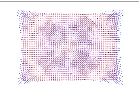
Using the new similarity indicator for the adjustment shows that the confidence in finding the correct corresponding links has improved significantly. The problems to
Since urban environments mainly consist of planar objects, a registration method based on the identification of corresponding planar features between the acquired
Fisheye optics systems provide hemispherical images with a large field of view around the camera using only one image, but the images have large scale variations caused
Dense point cloud created by VisualSFM from single circular flight over machine storage area using the NGA quadcopter with a GoPro flat lens camera..
