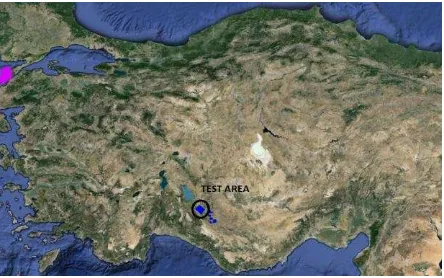
isprs annals III 4 53 2016
Teks penuh
Gambar
Dokumen terkait
Ground water levels and ground water quality in Aquifer A1 of water logged area of Dharoi RBC, 22 numbers of open wells are fixed in year 2009.The locations of the wells
For the analysis, segments of point clouds from different heights along the stem were obtained from the tree stem. The segments were manually cleaned to only contain points
Speaking to hybrid area 3, main buildings of BND headquarters have been accomplished after the break period given that clear building like patterns composed of dense EBC points
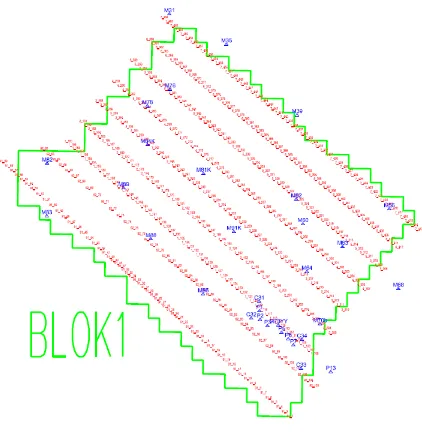
We investigate a recently proposed concept where adjustment is performed using image observations limited to ground control and check points, so called fast aerial triangulation
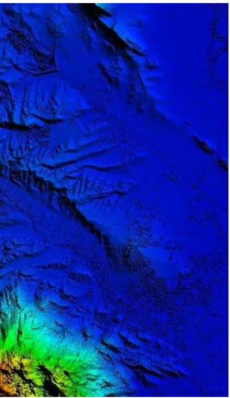
It is demonstrated by (c) and (d) that elevation variation or local slope caused by non-ground points is abrupt in LiDAR data and smooth in DSM, which makes elevation variation
The automatic plane detection of each building is performed applying extensions of the RHT associated with additional constraint criteria during the random selection of the 3
This method generates virtual control points using the initial RPC model of each image, and introduces these virtual control points as weighted measurements into the
The bias-compensated Rational Polynomial Coefficients (RPCs) Bundle Block Adjustment is applied to image orientation and the rectification of stereo scenes is realized based on
