isprs archives XLII 2 W6 263 2017
Teks penuh
Gambar

Dokumen terkait
- obtained value of standard deviation for the coordinate XYZ from both models of prediction does not exceed acceptable criterion of 10 m for locating the accuracy
The International Archives of the Photogrammetry, Remote Sensing and Spatial Information Sciences, Volume XLII-2/W6, 2017 International Conference on Unmanned Aerial Vehicles
The International Archives of the Photogrammetry, Remote Sensing and Spatial Information Sciences, Volume XLII-2/W6, 2017 International Conference on Unmanned Aerial Vehicles
The information display function retrieves information from the river database and the spatial data infrastructure, and displays the results. The user requests the
This phenomena may prohibit correct detection of ship location and results in overestimating the ship size as the ship and its wake are often considered as being part of the
The International Archives of the Photogrammetry, Remote Sensing and Spatial Information Sciences, Volume XLII-2/W6, 2017 International Conference on Unmanned Aerial Vehicles
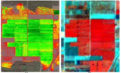
Therefore, we proposed the Scale Invariant Feature Transform plus Hue (SIFTH) that can remove the excess keypoints based on their Euclidean distances and adding
The International Archives of the Photogrammetry, Remote Sensing and Spatial Information Sciences, Volume XLII-2/W6, 2017 International Conference on Unmanned Aerial Vehicles
